New Zealand Topo Maps
ATLOGIS Geoinformatics GmbH & Co. KG
Downloads
100,000+
Version
Latest
Click to download now, finish the installation quickly, and directly unlock the all-round experience
Screenshots

Click to download now, finish the installation quickly, and directly unlock the all-round experience
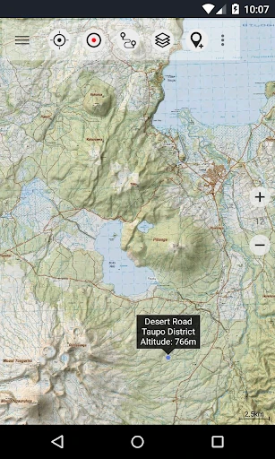
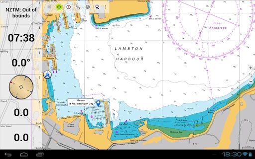
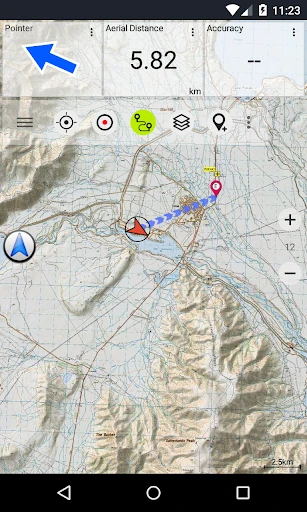
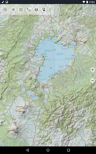
New Zealand Topo Maps is a navigation app for trampers, hikers, hunters, campers and other users who need more than standard road directions. It displays detailed topographic information across New Zealand, helping you understand tracks, ridgelines, waterways, elevation changes and remote terrain while planning or following an outdoor route.
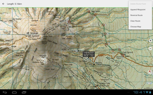
The app uses New Zealand topographic map data, including the official Topo50 and Topo250 series. You can switch between map views and use additional information relevant to outdoor travel, such as Department of Conservation huts, campsites, hunting areas and public conservation land. Hill shading adds terrain contrast, which can make slopes and landforms easier to read on the screen.
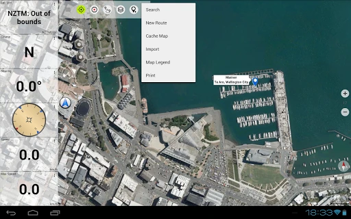
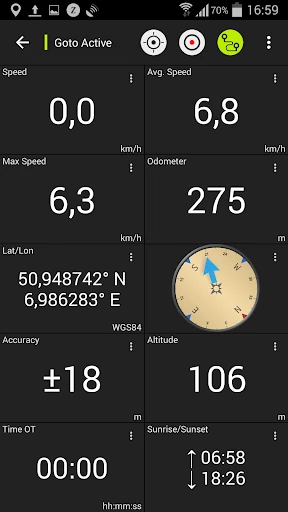
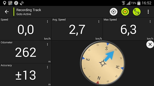
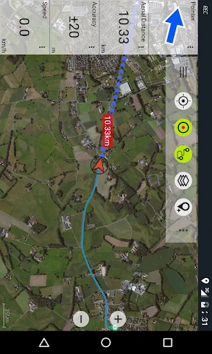
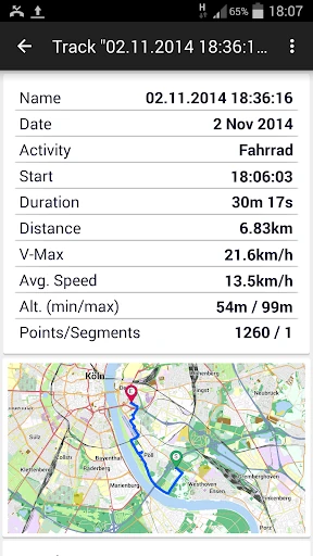
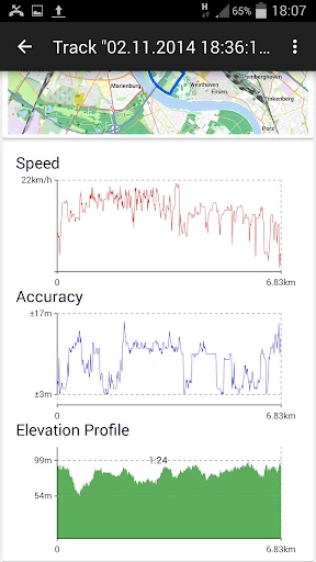
New Zealand Topo Maps includes tools for working with outdoor routes and recorded tracks. GPX and KML support allows you to import existing routes or export trip data for use with other mapping programs and GPS devices. A Tripmaster view can show information such as distance travelled, average speed and bearing, making it useful for reviewing progress during a walk or ride.
For travel beyond reliable mobile coverage, the app is designed to support offline map use through downloaded map areas, where available in the app. Preparing the relevant region before leaving coverage can help keep map information accessible in remote locations.
Developed by ATLOGIS Geoinformatics GmbH & Co. KG, the app is listed in Maps & Navigation. It has a 4.71 rating from 3,571 reviews and more than 100,000 installs, indicating established use among people looking for New Zealand-focused outdoor mapping.